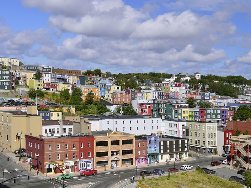
Where Hurricane Larry is forecast to make landfall in Canada
September 9, 2021 by Greg Meckbach

Print this page Share
Flooding could affect property clients Sept. 10 in the Placentia Bay area of Newfoundland, as winds off the coast may reach 130 kilometres per hour and some areas could get about 50 millimetres of rain.
“Hurricane Larry is expected to impact eastern Newfoundland this Friday with wind, rain, large waves, and possible coastal flooding,” Environment Canada said Thursday morning.
UPDATE – What we know so far about Canadian Hurricane Larry claims
“Larry expected to make landfall near Placentia Bay with hurricane force winds up to 130 km/h.”
Read more – Hurricane Larry makes landfall in eastern Newfoundland
At 10:00 a.m. Eastern time, the storm was about 300 east of Bermuda, moving north northwest at 26 kilometres per hour, the United States National Hurricane Center reported. At the time, Hurricane Larry had maximum sustained winds of 150 km/h.
“Storm surge warnings will likely be issued for the southern and eastern Avalon Peninsula, and the southern Burin Peninsula,” Environment Canada said.
Newfoundland and Labrador Premier Andrew Furey was scheduled to hold a storm-preparation announcement Thursday at 12:30 p.m. local time, the Canadian Press reported.
“On Friday, long period 2-metre swell will extend along the entire Atlantic coast of Newfoundland. As Larry approaches from the southwest Friday evening, long period waves of 7 to 10 metres will impact south facing coastlines. Storm surge will also affect these areas.
If the storm passes near the Avalon Peninsula a few hours earlier, coastal flooding may extend north into Placentia Bay and cause flooding in the town of Placentia,” Environment Canada said.
On Thursday, Environment Canada issued hurricane watches from Cape Race north to Cape St. Francis. It also issued two tropical storm watches: one from the Burin Peninsula east to St. Shotts, and the other from Cape St. Francis northwest to the Bonavista Peninsula.
“Gradual weakening is forecast during the next couple of days, but Larry is expected to remain a hurricane during that time. Larry should become an extratropical cyclone early Saturday, after passing by Newfoundland, then weaken further while it passes southeast of Greenland Sunday night,” the U.S. National Hurricane Center said.
Meanwhile, Storm Mindy made landfall Wednesday night in St. Vincent Island, Fla., the Associated Press reported. Mindy was expected to cause as much as 15 centimeters of rainfall across the Florida Panhandle and portions of southern Georgia and South Carolina through Thursday morning, AP reported, quoting the National Hurricane Center.
On Thursday morning, Mindy was about 125 kilometers south southeast of Valdosta, Ga., and moving northeast at 31 km/h with maximum sustained winds of 55 km/h, AP reported.
A third North Atlantic hurricane – Ida – made landfall Aug. 29 in Louisiana, causing the entire city of New Orleans to lose power.
On Sept. 9, hundreds of thousands of people outside of New Orleans still had no electricity and some of the hardest-hit areas still had no water, AP reported.
In Louisiana alone, the death toll has risen to 26. Dozens more died in the United States northeast including New York and New Jersey. Many of the victims drowned after intense rain from Ida fell. Seven rivers in the U.S. Northeast reached their highest levels on record, AP reported.
Feature image via iStock.com/Joesboy
Have your say: